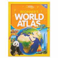
Large, easy-to-read maps introduce youngsters to the world and each of its seven continents. Stunning photographs, carefully selected for their appeal, supplement the maps.Children will learn about the physical world (land regions, water, climate, plants, and animals) and the political world (countries, cities, people, and languages). The large format (10¼"" x 13½"") makes the photos and artwork come to life.Features ten illustrated physical maps, ten political maps, and over 130 full-color images.Statistical information about land, water, and people is included in a special World at a Glance section. Glossary and index are included. Updated in 2022. Paperback, 64 pages. Ages 5 - 10.
About For Small Hands:
A Resource for Families
Delight young children with real tools that let them handle real tasks "all by myself!" Our hard-to-find, child-size items allow them to pour their own juice or rake leaves by your side, purposeful "work" that supports self-confidence and independence. From a pitcher to fit small hands to open-ended games, toys, and crafts that call on spatial, motor, or problem-solving skills, we make sure every item provides an enriching opportunity.
Phone:
888-274-4003
Email:
info@forsmallhands.com

